
.svg)
Our favourite Raglan walks
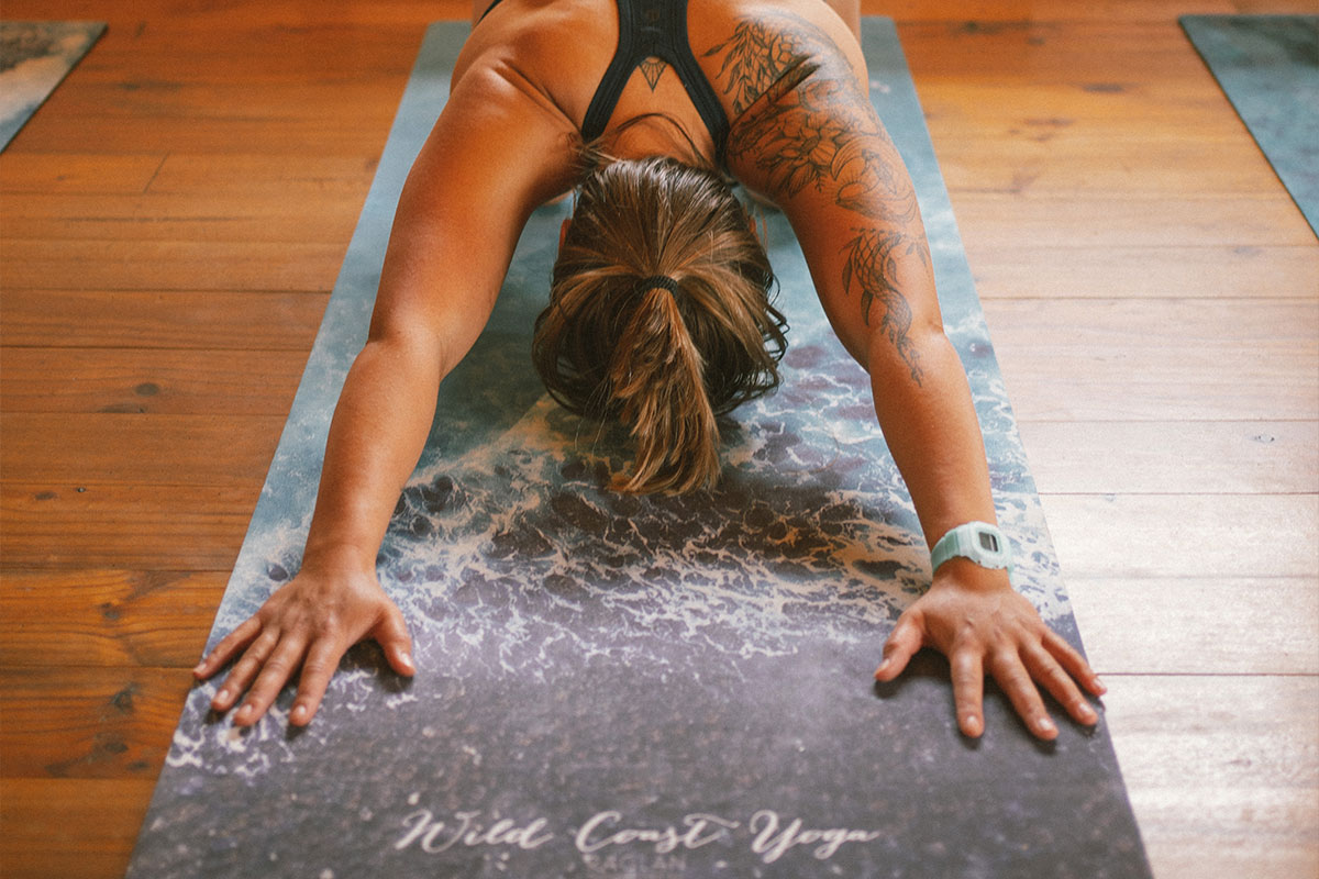
There is so much to see and do in Raglan, and one of our favourite ways to explore it is by foot! You can explore beautiful farmland, visit hidden waterfalls, climb a mountain and get some of the best views of the West coast all by foot! You'd be silly not to pack your walking (or running!) shoes if you come for a visit, and if you're making the move to Raglan, a healthy active lifestyle will be right at your doorstep.
There will be a range of walking tracks, 14km in total throughout the Rangitahi peninsula that will allow you to explore its beautiful surroundings, from native bush to the sea. But Raglan already offers a variety of great walking routes, and we thought we'd share with you a few of our favourites.

Bryant Memorial Walks
Ngarunui track is one of our favourite most accessible walking tracks in Raglan. It offers some stunning views of Ngarunui beach and the west coast beyond, and is a great way to extend your morning or evening beach walk! You can access this from Wainui Road beside the Bryant Home Children’s Bible Camp, where you'll be taken down a coastal track with tree ferns, Nīkau palm, Kawakawa and Kōwhai all in abundance, and on the way down you'll find a lookout with extensive views of the beautiful raglan coastline and beyond. You'll be able to get a good view of the surf at the points too! You'll end up on the beach where you can continue your walk along the seashore and enjoy the smell of the ocean air!
If you're looking for an even longer route and through more forest, you can access the Water Race track from Upper Wainui Rd which adds another 20 minutes or so but meets up with Ngaranui track on Wainui Rd. Here you'll be taken through dense coastal forest, perfect for a weekend walk with friends!
Wainui Bush Reserve
If you love your bush walks and New Zealand natives, then we recommend you explore a network of paths through beautiful native bush called Wainui Bush Reserve. Located just before the beach turn off on Wainui Rd (you'll see a carpark to your right coming from town), you can access a variety of tracks here that will take you on a journey through New Zealand's native plant life. A great way to improve your knowledge too as many are identified for you! The reserve was created by a team of hard-working volunteers, and you'll notice little manmade structures as you explore the area.
Mt Karioi Summit tracks
If you're looking for something a little more challenging, you can in fact trek to the summit of our beautiful sleeping lady - Mount Karioi. The views from the top are breathtaking, and on a clear day you can see Mt Taranaki, Pureora, Maungamangero, Te Aroha, Pirongia and Maungatautari. There are two tracks to the summit, from two separate sides, so you can choose to either do a crossing or a return trip.
Mt Karioi track is closer to town, steeper and probably the more scenic of the two tracks. It also takes a little longer than the other route. You can access this route from the Te Toto Gorge lookout on Whaanga Rd, which will take you through an open grove of Kanuka to a main ridge with beautiful sculptured vegetation from the westerly winds. It may be the steeper route, but it sure does offer beautiful views on the way up!
The Wairake track is accessed via Ruapuke Rd, and is the shortest route to the summit. This track climbs steadily through native forest to the summit, but starts with a 40 minute walk across farmland. This takes a little bit longer to drive to if you're coming from town, but shaves off about an hour from the other route.
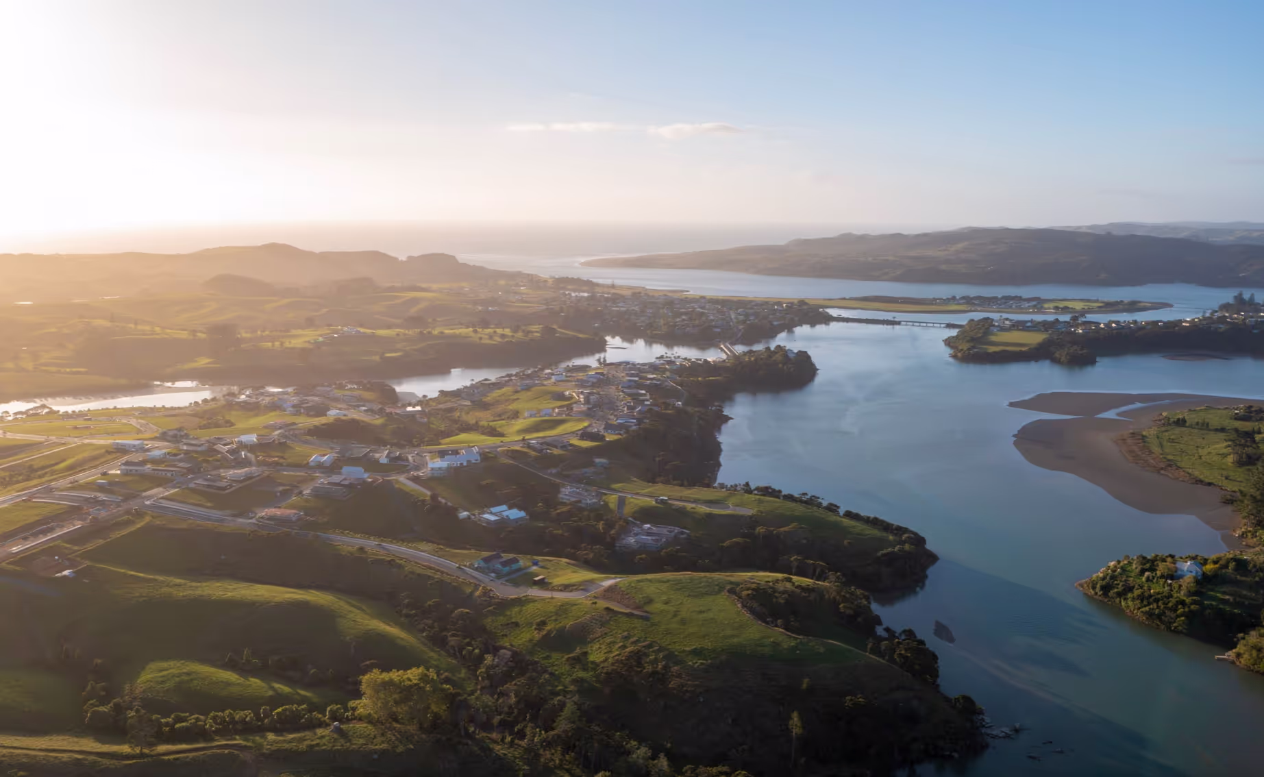
Those are only a few of the many ways to explore Raglan, we don't want to give away too many secret spots! Now that the days are longer and the weather is warming up, there's plenty of opportunity to get out and explore our beautiful coastline and bushland!
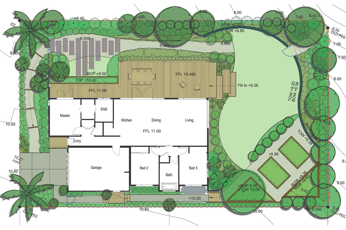
Here is a map of the currently open and accessible, coastal walking tracks here on Rangitahi, Raglan.


.svg)